Scenic Area Layout: A Three-Dimensional Spatial Structure of Five Sections
Baili Gorge: A 105-Li Zhanggu Corridor
Baili Gorge is the core scenic area of Yesanpo, consisting of three gorges: Xiezigou, Haitangyu, and Shixuanxia, with a total length of 105 li (about 52.5 kilometers). The gorges are only 10-30 meters wide on average, with the narrowest point, "Yixiantian" (A Thread of Sky), being less than 1 meter wide. The cliffs on both sides rise 200-400 meters, forming typical "zhanggu" (narrow gorge) landforms. At the entrance, there is an antique-style archway, 12 meters high and 18 meters wide, with the plaque "Baili Gorge" inscribed by calligrapher Qi Gong.
- Xiezigou: About 12 kilometers long, named after the abundant stinging nettles (Urticaceae plants) in the ditch. The gorge bottom is about 400 meters above sea level, with Cambrian oolitic limestone on both sides, showing clear bedding.
- Haitangyu: About 18 kilometers long, famous for wild crabapple flowers. During the flowering season from May to June, pink flowers stretch along both sides of the stream. The gorge has a total of 8.6 kilometers of plank roads, 1.5 meters wide, made of a mixed structure of preservative-treated wood and reinforced concrete.
- Shixuanxia: About 22.5 kilometers long, named for its ten natural hanging waterfalls. Among them, the "Qingtian Yuzhu" (Jade Pillar Supporting the Sky) is a freestanding stone pillar about 50 meters high and 8 meters in diameter, a remnant left after water erosion along vertical joints.
Yugudong Cave: Underground River and Cave System
Yugudong Cave, located in the central part of Yesanpo, is a cave group developed in Ordovician limestone. The main cave is about 1,800 meters long, with a maximum height of 30 meters and a maximum width of 25 meters. The cave maintains a constant temperature of 12-15°C year-round and is divided into three levels: upper, middle, and lower. The lower level contains an underground river, with water depths of 1-3 meters and a flow rate of about 0.5 meters per second, with a total channel length exceeding 5 kilometers. The cave features well-developed stalactites, stalagmites, and flowstones. Among them, the "Yugu Spring" is a seasonal spring that gushes out a large number of scaled fish (Varicorhinus) around the Grain Rain solar term, a phenomenon that remains not fully explained.
Longmen Tianguan: Ming Dynasty Great Wall and Cliff Carvings
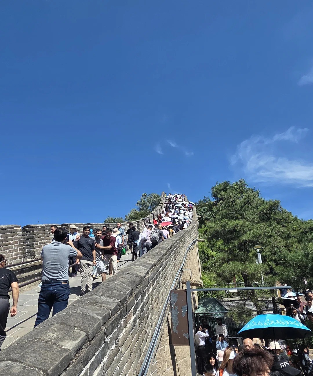
Longmen Tianguan, located in the northwest of Yesanpo, is about 1,200 meters above sea level and was an important pass of the Ming Dynasty inner Great Wall. The existing wall ruins are about 500 meters long, 4 meters wide at the base, 2.5 meters wide at the top, and about 6 meters high, built with rubble and lime mortar, with crenellations and loopholes on top. On the cliff east of the pass, more than 30 Ming Dynasty cliff carvings are preserved, among which the four characters "Wanren Tianguan" are each about 2.5 meters high and 1.8 meters wide, inscribed by a Ming Wanli-era censor and vice minister of war. In addition, the scenic area has reconstructed Ming garrison barracks, beacon towers, and other facilities, forming a complete display of the military defense system.
Baicaopan: Alpine Meadow and Primeval Forest
Baicaopan, at 1,983 meters, is the highest peak in Yesanpo. The summit features a subalpine meadow of about 500 mu (about 33 hectares), where more than 200 species of alpine plants grow, including globeflowers, wild poppies, and globe thistles. The vertical vegetation zones from the foot to the summit include deciduous broad-leaved forest (800-1,200 meters), mixed coniferous and broad-leaved forest (1,200-1,600 meters), and subalpine meadow (above 1,600 meters). In the well-preserved secondary forest, there are over 3,000 ancient trees of oil pine, birch, and poplar with diameters exceeding 50 centimeters.
Juma River: Canyon Rafting and Ecological Corridor
The Juma River originates deep in the Taihang Mountains and flows through the Yesanpo Scenic Area for about 35 kilometers. The valley width ranges from 50 to 200 meters, with an average gradient of about 3‰. The river water is crystal clear, meeting the national Class II drinking water standard. The riverbed is covered with cobblestones and sandy beaches, forming numerous natural bathing areas and rafting sections. Along both banks, typical river terraces have developed, with the first terrace rising about 5-8 meters above the riverbed, serving as the main area for human activities and village distribution.